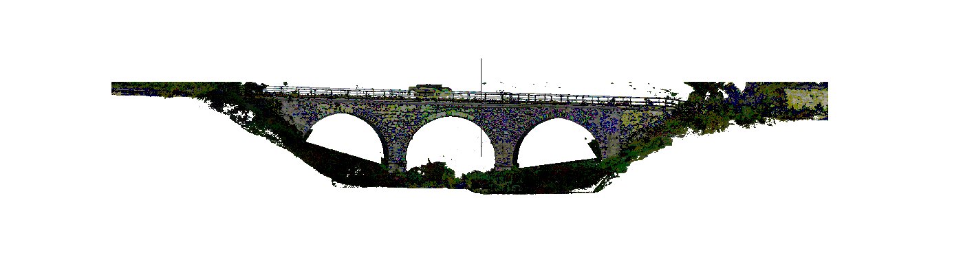
A masonry bridge,
from the cloud to the sheet
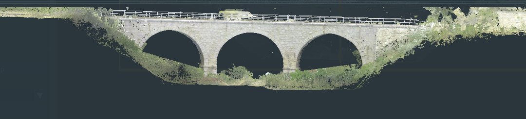
A three-arch masonry bridge carrying a railway, surveyed together with the valley around it: vegetation, banks, a road below. The deliverables are the classic ones of a bridge survey: elevations, plan from above and from below, cross sections, and the sheets to print them on.
- 59.2 mdeck centreline
- 78.7 × 12.6 × 13.6 mworking volume
- 1:100at 1.97 cm per pixel
- A0sheet, 600 DPI
The bridge inside its valley
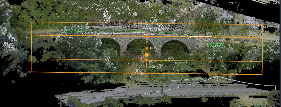
The deck centreline is traced with a few clicks, ten points over 59.2 metres. From it the program builds an oriented working volume around the structure: everything that matters is inside the box, the valley stays outside.
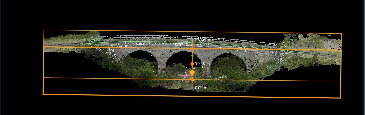
Only the structure on screen
With one switch the cloud outside the volume disappears from the view. It affects the display only: nothing is deleted, and the full survey is still there for the next job.
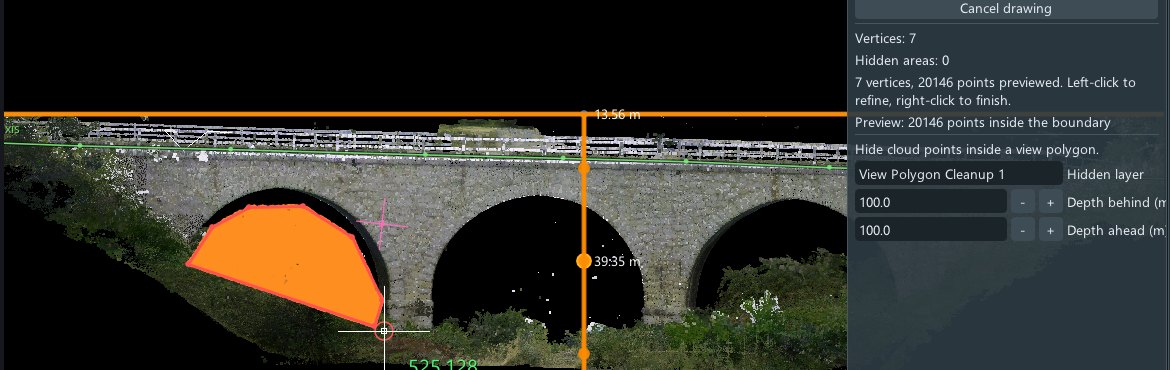
Clearing what stands in front
A bush in front of an arch would end up in the elevation. A polygon drawn on the view hides it: here 20,146 points, with a depth behind and ahead of the plane so that only the clutter goes, not the masonry behind it.
The elevation, at scale
The front elevation is generated as an image at 1:100, 1.97 cm per pixel, in true colour, intensity or depth. Brightness and contrast are set before delivery and travel with the file.
From above, and from below
The same volume gives the plan from above, with the track on the deck, and the plan from below, the intrados of the arches. Cross sections are cut where you need them.

On the sheet
The drawings are placed on a print sheet, here A0 at 1:100 and 600 DPI, drawn in metres, ready for the title block and the delivery.